
The City of Homer is developing an in-depth wayfinding and streetscape plan to connect various locations in town through landmarks, signage, benches and pathways, which the city says will help visitors and residents navigate the town in a more enjoyable manner. The landmarks will provide information about Homer, including historical facts, maps, tourist attractions, neighborhood information and land acknowledgement.
Julie Engebretsen, deputy city planner, said the wayfinding and streetscape project is important to help connect each part of Homer through landmarks to expand the visibility of all the city has to offer.
“The idea is when people are walking or driving around Homer, there should be signs and wayfinding cues so it is easy for people to find their destination,” Engebretson said. “… We have signage at our parks but not our trailheads. We never really made decisions about what that should look like and how we can make it work together. That’s a great thing to hire someone who knows how to do that and make it look nice the first time,rather than piecemealing it, because that just costs everybody more money and time.”
“We all would like (Homer) to look nice 50 years from now, so what decisions can we make now,” Engebretsen said about the plan. “Those are the things that I think this project will help answer.”
The streetscape plan will establish a uniform theme for Homer, including the installation of trashcans and benches, and even go so far as to create a landscaping guide that will help the city and local businesses determine what kind of plants would best grow on their properties.
“Our project is not branding,” Engebretsen said. “We are keeping Homer Homer, but we want it to feel like you’re in a place that goes together. … Matching trashcans and benches or at least a theme that goes together and is aesthetically pleasing that when you’re a visitor, you know you’re in a place that is downtown or you’re out on the Spit, and you’re in a place that people are welcome.”
The city hired Corvus Designs, located in Anchorage, to develop these plans. Corvus will be responsible for designing the various signs, as well as determining where and how they should be used. The architecture company will also provide the city with a design guidebook when a new landmark is needed in the future. Corvus has previously worked in Homer on projects such as the Boathouse Pavilion on the Spit, the Center for Alaska Coastal Studies, the land parcel west of the library, as well as others.
Corvus Design founder and landscape architect Peter Briggs said the project is going to create a unified new look for Homer while also being functional.
“When we work with clients, we listen very closely,” Briggs said. “From my perspective, what impact this will have is it will give Homer what it needs and what it wants. Specifically for what we’re doing, moving visitors to different areas of Homer and validating they exist because they’re on a sign that people should stop and experience them. Also, a really important part of this is making sure that aspects of the signage is there for residents of Homer, especially on the pedestrian level.”
“The success of a plan like this is not just for tourists. It’s trying to increase business, increase physical movement — exercise, walking around — so it’s for the locals just as much as the tourists,” Briggs said. “It’s somebody else’s wisdom, but someone a long time ago said to me ‘If you design something for the locals, the visitors will find it to be interesting because if it’s right for the place, it’s right for everyone.’”
“Corvus has done work all over the state,” Engebretsen said. “They do really nice work, and we’re really happy to be working with them.”
Current locations being scouted for these landmarks include Baycrest Overlook, the airport, various parks and trails, downtown Homer, the Spit and Bishop’s Beach. Only a few signs will be placed at first to allow the city to evaluate the effectiveness of the information. More will be placed as the project progresses and key locations are identified.
“(Corvus Designs) taught us that successful wayfinding projects, you don’t install everything at once. You do one or two things and see what works so you can tweak it over time,” Engebretsen said. “This is something to grow into.”
Funding for the project comes from the Homer Accelerated Roads and Trails fund, and the prices for each landmark will vary in accordance with their size and purpose.
Corvus will present the first draft of the wayfinding and streetscape project at the City of Homer Economic Development Commission meeting on Aug. 10, and both Engebretsen and Briggs are hopeful the first sign will be implemented in late fall. Public comment on the draft will be available during the meeting.
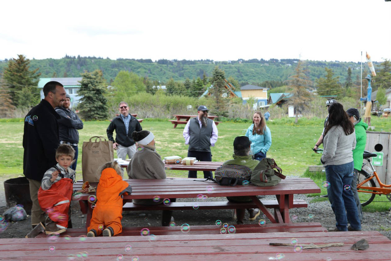
In order to promote the new plan, the city recently hosted Discovery Days, a two-day event to meet with community members, and received numerous ideas on how to make Homer more accessible.
“What we really heard was everyone winds up on the Spit, and that when people turn around to go home, they’re driving back toward town and then they realize oh, there’s a community here,” Briggs said. “So a big part of this is trying to alert people to things there are to do in Homer that aren’t just the Spit.”
For those who were unable to attend the Discovery Days event and would like to contribute ideas or suggestions to the project, the wayfinding and streetscape website has a comment section that Corvus encourages people to use.
The Rivers and Trails Conservation Association is also working with the wayfinding project to place informational signs at the Homer Public Library and to develop the greenspace on the nearby trails, which connect Bishop’s Beach, Alaska Islands and Ocean Visitor Center, Pioneer Avenue and the library, for community use. The National Parks Service awarded the RTCA a grant to begin the two-year development project that will connect with the wayfinding plan.
For more information or to leave comments concerning the project, visit https://homerwayfinding.blogspot.com/.
Reach Sarah Knapp at sarah.knapp@homernews.com.
