
Marine forecast zones identified by the National Weather Service will be realigned to increase specificity, the service announced last week.
Changes are set to be implemented March 8. A press release from the National Weather Service said the updated boundaries will divide areas into “nearshore” and “coastal” zones, as well as divide up larger spaces within the Gulf of Alaska, Prince William Sound, the Aleutians and in the Bering Sea.
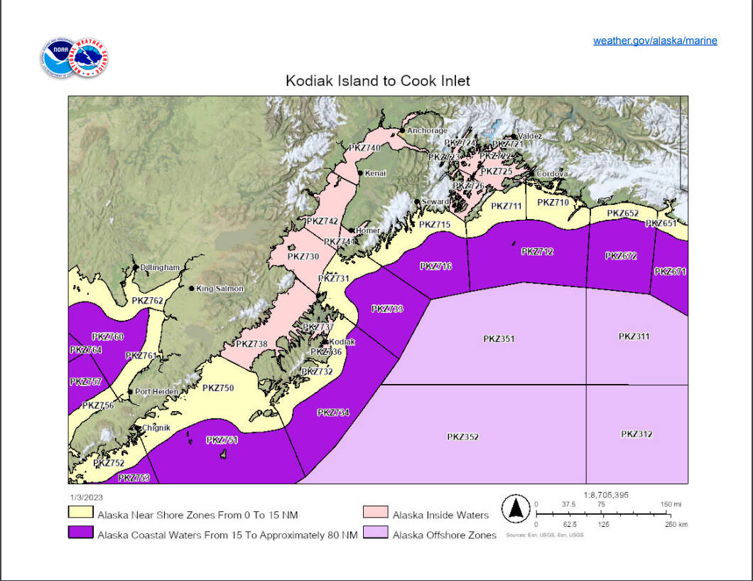
Around the Kenai Peninsula, the area of Prince William Sound, which was previously represented by three zones, will now be represented by 10. The area within Cook Inlet will not be changed, though zone numbers are changing.
“The planned changes will result in more geographically-representative forecasts, advisory, watch, and warning products,” the release said.
More minor modifications will also be made to outer boundaries, previously called “out to 100 (nautical miles).” The release says that these zones will not be changed, but that improved technology will allow the service to more accurately identify the distance of the boundaries from Alaska’s coastline. After the update in March, zone names will include a description of how far out they actually, physically extend.
“These changes are part of a long-term National Weather Service improvement plan to provide the public with forecasts and alerts more relevant to their area of concern,” the release said.
For more information about changes, including updated maps, visit weather.gov/alaska/marine.
Reach reporter Jake Dye at jacob.dye@peninsulaclarion.com.
