State unveils maps in effort to ‘unlock’ Alaska waters
Published 10:30 pm Tuesday, May 18, 2021
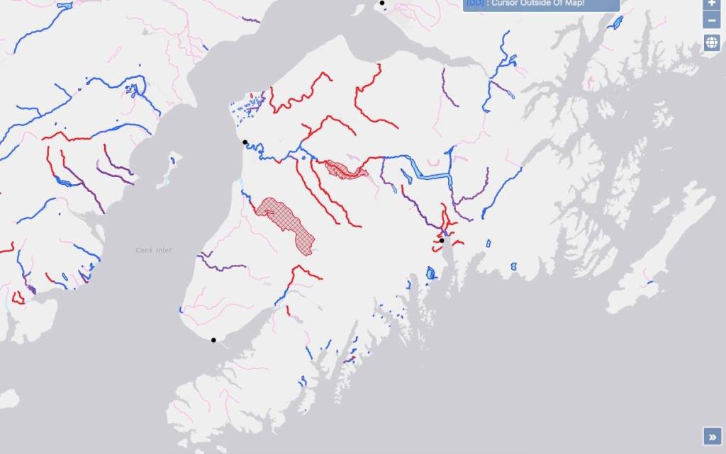
The State of Alaska has management rights in some, but not all, of Kenai Peninsula waters. That’s according to new maps published by the Alaska Department of Natural Resources last week, which plot which Alaska waters are “navigable” and therefore under state, rather than federal, management.
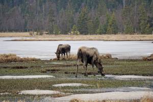
The maps are the result of Gov. Mike Dunleavy’s “Unlocking Alaska,” initiative, which was announced earlier this year, and has a stated goal of establishing a state website people can use to see where they can “freely travel.” Tustumena and Skilak Lakes, for example, are part of the Kenai National Wildlife Refuge created by the Alaska National Interest Lands Conservation Act of 1980 and are shown as “not navigable” on the new maps, meaning they are not under state control. Most of the Kenai River, in contrast, is shown as “navigable,” meaning it is under state control.
States’ ownership of the beds of navigable waters located within their boundaries can be traced back to the U.S. Constitution’s Equal Footing Doctrine, which says new states entering the union would be able to do so on the same footing as the original 13 colonies already in the Union. When Alaska became a state, it opted to defer management of these waters to the federal government while Alaska was still new to the United States.
Though the Equal Footing Doctrine means navigable waters belong to the state, efforts to reassert state management of those waters have accelerated in recent decades.
Alaska began to reassert its control over some state lands after being asked to prove that those lands had historically been used for travel.
Transportation corridors cannot be closed off to public access by the federal government.
The state expanded its efforts to include navigable waters that may be exempt from federal control. Navigable waters are those which — at the time of statehood — were used or susceptible to being used in their ordinary condition as a highway for commerce over which trade and travel were or could have been conducted in ways customary at the time. Alaska plans to press claims on other waters in the future.
“Any attempt by federal authorities to issue citations or harass Alaskans who are legally using these waters will be met by litigation from the state of Alaska,” the March press release said.
To figure out which waters meet those guidelines, the Alaska Department of Natural Resources’ Public Access Assertion and Defense (PADD) unit conducts scouting expeditions. Those efforts are led by PADD Unit chief Jim Walker.
The Department of Natural Resources’ interactive map can be accessed at mapper.dnr.alaska.gov/map.
Reach reporter Ashlyn O’Hara at ashlyn.ohara@peninsulaclarion.com.