Site Logo

4.0 magnitude earthquake strikes 12 miles east of Ninilchik

Published 10:30 pm Wednesday, August 6, 2025

This map shows the location of a magnitude 4.0 earthquake that hit about 8 miles east of Ninilchik, Alaska on Thursday, Aug. 7, at 3:45 p.m. The map also shows the intensity of the quake as reported by observers. (Map by U.S. Geological Survey)
1/2

This map shows the location of a magnitude 4.0 earthquake that hit about 8 miles east of Ninilchik, Alaska on Thursday, Aug. 7, at 3:45 p.m. The map also shows the intensity of the quake as reported by observers. (Map by U.S. Geological Survey)

This map shows the location of a magnitude 4.0 earthquake that hit about 8 miles east of Ninilchik, Alaska on Thursday, Aug. 7, at 3:45 p.m. The map also shows the intensity of the quake as reported by observers. (Map by U.S. Geological Survey)
This map shows the location of a magnitude 4.0 earthquake that hit about 8 miles east of Ninilchik, Alaska on Thursday, Aug. 7, 2025, at 3:45 p.m. The map also shows the intensity of the quake as reported by observers. (Map by U.S. Geological Survey)

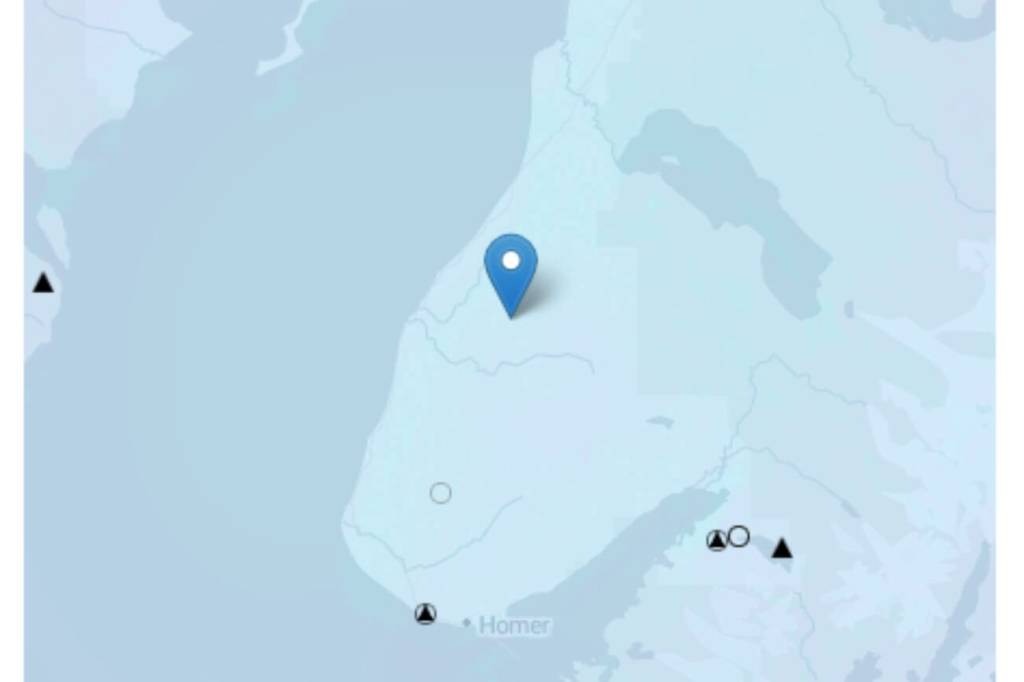
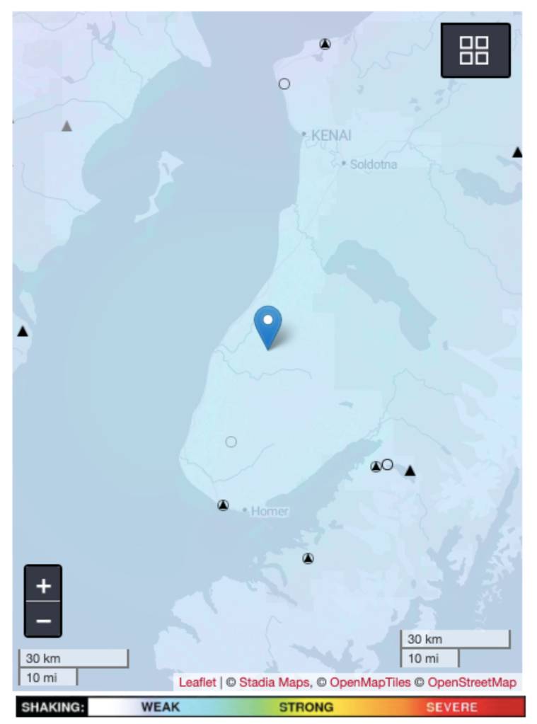
A magnitude 4.0 earthquake hit 8 miles east of Ninilchik on Thursday, Aug. 7, at 3:45 p.m., according to the Alaska Earthquake Center.

The quake was reported at a depth of 25.9 miles and felt in communities as far south as Homer. No tsunami alerts were issued.