Borough to do aerial survey of peninsula
Published 10:30 pm Tuesday, March 9, 2021


When people piloting a small-wing plane take to peninsula skies this spring, it won’t just be because they want to see the sights. They’ll be part of a borough effort to improve and update the Kenai Peninsula Borough’s aerial imagery resources.
The flight will be one of four made possible by a recent unanimous vote in support of legislation by the Kenai Peninsula Borough Assembly. That legislation also approved additional funds to pay for the flight this spring. The four flights are described in a sole source award the assembly voted for the borough to enter into with the company EagleView, with flights planned for the purpose of gathering updated and high-quality imagery of the borough.
While most beneficial to the borough’s assessing department, which can use the imagery to meet assessing canvassing criteria, the imagery can also be used for general government, safety and public uses.
The last time the borough conducted a general capture of imagery was in 2012 and 2013 for the western Kenai Peninsula. Borough Land Management Officer Marcus Mueller said during a Feb. 16 meeting of the Assembly’s Finance Committee that the borough has undergone many changes since that capture. Reflected in a new capture, Mueller said, would be things like forest fire damage, spruce bark beetle outbreaks and new homes and roads.
Mueller noted that while borough captures are used often by borough departments, the borough’s parcel viewer webpage is their most-visited “by a long shot,” with several hundred thousand hits a year.
“This is a really big deal,” Mueller said during the February meeting. “Imagery is a really central information piece for a municipality to have.”
Borough Acting Assessing Director Adeena Wilcox said during the February meeting that the technology will save the borough’s Assessing Department money and will reduce the risk posed to employees while out in the field, which she said can be dangerous and costly. Putting staff on a boat to survey the outer banks of the Seward area, for example, costs almost $20,000.
The department used the same technology last year to gather imagery of the eastern peninsula, Wilcox said. That project was able to be funded using CARES Act funds because it prevented assessing staff from having to go out into communities.
Wilcox said the technology will also grant the borough visual access to places they’ve been unable to survey on the ground.
The Native Village of Tyonek, for example, as a sovereign entity, has said that they do not want the assessing department in the community and has even escorted assessing staff off of property in the area.
“We don’t want to be on the property if the taxpayer doesn’t want us on the property,” Wilcox said. “They have the right to tell us not to be there.”
Aerial imagery, Wilcox said, will not replace in-person sales, appeal and year-end inspections conducted by the department and would be used specifically for canvassing.
In all, the ordinance outlines four projects with EagleView that have a projected combined cost of almost $650,000.
The first flight, to take place in spring 2021, will cost about $340,000 and would cover most of the western peninsula.
The second flight, to take place in spring of 2022, will cost about $127,700 and would cover the western shore of Cook Inlet, the tip of the peninsula and the southern shore Kachemak Bay plus Seldovia.
The third flight, scheduled for spring 2023, will cost about $116,000 and would cover most of the peninsula south of Skilak Lake.
The final flight, estimated for spring 2024, would cost about $64,000 and cover the central peninsula.
Wilcox said during the February meeting that conducting flights in spring produces better imagery because many trees lack substantial leaves that block views of the ground.
The ordinance, which was approved unanimously by the assembly during their March 2 meeting, adds about $63,000 to the borough’s GIS budget to help fully fund the initial flight scheduled for this spring.
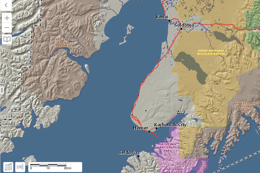
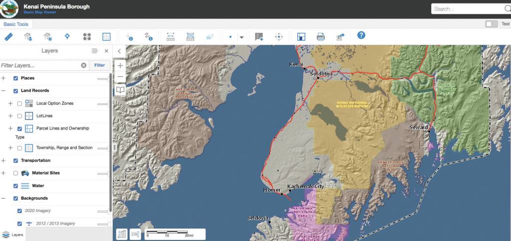
Interactive GIS imagery of the Kenai Peninsula Borough can be found on the borough website at kpb.us/gis-dept/interactive-mapping.
Reach reporter Ashlyn O’Hara at ashlyn.ohara@peninsulaclarion.com.