Land trust wraps up Cooper Landing project with 46 more acres preserved
Published 9:30 pm Tuesday, April 2, 2024
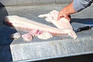
Homer’s Kachemak Heritage Land Trust announced protection of an additional 46.393 acres of land on the Kenai Peninsula as of March 22. This land protection is the concluding portion of a five-part mitigation project partnership between the land trust and the Alaska Department of Transportation and Public Facilities. This sector of land is between Mileposts 45-60 on the Alaska Sterling Highway, near Cooper Landing. This is the portion of the highway that runs directly along the Kenai River.
The land trust’s role in the project has been to find, assess, select and secure specific lands to protect on the Kenai Peninsula. With the recent addition of acreage, the Kenai Peninsula environmental advocacy group has protected a total of 209.033 acres within the Kenai River watershed since the project’s inception in 2020.
This section of the highway reconstruction plan has controversial for a long time because there was disagreement about where the new highway should be located and some residents of the Kenai wanted to move it away from the river for least environmental impact.
KHLT Executive Director Marie McCarty said discussion on highway placement has been underway for approximately 30 years. However, that geographical portion of the landscape doesn’t provide much alternative; the mountains rise straight up from the river.
The DOT website describes that portion of the highway and the alternative they have decided on is labeled the Juneau Creek Alternative, which will cross the Resurrection Pass National Recreation Trail. The website explains that the new highway alignment will cross land currently in the Kenai National Wildlife Refuge and will rejoin the existing highway at about Milepost 56.
KHLT’s Lauren Rusin, conservation project manager, said DOT was looking to find the lowest impacts to the environment, but highest rewards for the highway. Reward goal intentions included improving access to local properties and recreation opportunities, improving travel time and reducing noise, dust and traffic in Cooper Landing. The U.S. Army Corps of Engineers, an agency of the federal government, requires the state to mitigate for environmental impacts from highway construction so the KHLT’s task and contract was to find a similar size property to designate as a protected zone for Kenai River Watershed wetlands.
The highway reconstruction project is already underway but the completion date is undetermined, according to the staff interview with KHLT.
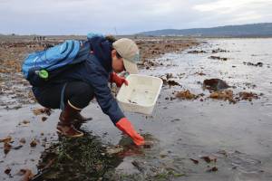
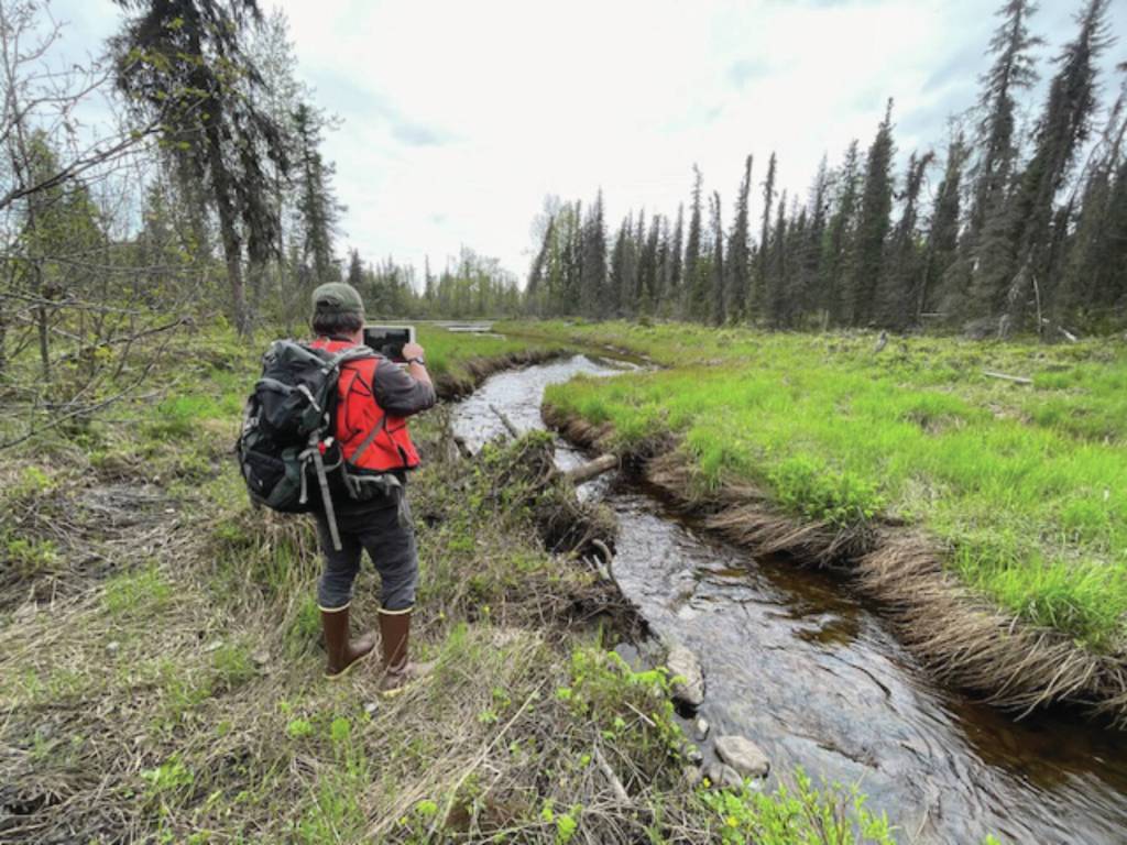
Amanda Kelly is a stewardship coordinator with the land trust and explained what it means when land is designated as a protection zone and what the role of stewardship entails throughout the land trust.
“When we acquire property, we essentially agree to protect it forever. What that means, is that when we first get property we do a baseline study to do an assessment of what the property looks like in its current state and aim to keep it to those conservation standards that we identify. We look at features like wetlands, critical salmon habitat — whatever features are important,” Kelly said.
Stewardship checks on property status once each year with images and notes. There are restrictions on the properties to protect the conservation values.
“If we find something like signs of ATV use and those are prohibited, we take measures to prevent further signs of use and damage to the values,” Kelly said.
Rusin said the responsibility of the land trust is protect the properties in perpetuity in basically the same condition as when they were acquired.
“Maintaining conservation values in the face of climate change is a huge thing because things are constantly in flux. One of the things happening more regularly now is flooding, so the wetlands are experiencing change and there isn’t much we can do about that. So that component does complicate stewardship into the future. We’re really just starting to deal with properties in regards to climate change,” Rusin said.
“This is a conversation that land trusts across the country are having and it’s a topic coming up more frequently about how to account for transitions to land related to climate change and how to adapt to that. We might reconsider former restrictions like cutting down trees, but there might be more wildfire risk, so now we need to factor that component in, too. It’s a much larger part of the conversation now and we need to consider that component in advance,” Kelly said.
One feature that will indefinitely remain consistent is lack of development on the protected land.
The four previous land securements related to the Sterling Highway project are the 4.01 acre King Salmon property, the 40 acre LAP property, the 46.393 acre LTO property and the 52.57 acre Croften property. An interactive map showing the location of these sites is available on the KHLT website, www.kachemaklandtrust.org.
Kachemak Heritage Land Trust is one of six land trust organizations in Alaska. The others are the Alaska Farmland Trust that works out of Palmer, the Bristol Bay Heritage Land Trust out of Dillingham, the Great Land Trust in Anchorage and the Southeast Alaska Land Trust. Total protected acreage through the trusts in the state is 638,662 acres, according to the Land Trust Alliance organization website.
The gravel highway between Cooper Landing and Homer originally opened in 1950.